Deep Gorge Geology & Remote Terrain
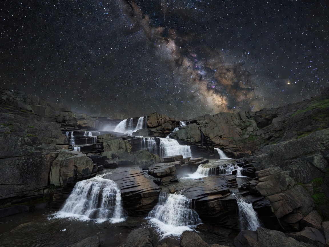
Serpentine Ravine Falls is one of the most rugged, untouched multi-tiered cascades along the Shadow Ridge Plateau. Winding through dark green serpentine mineral rock formations, the falls drop a cumulative 110 feet across three separate staircase ledges into a narrow canyon floor.
Due to steep canyon walls shielding light pollution, Serpentine Ravine is a favored destination for night-sky astrophotographers aiming to capture the Milky Way core framing white water cascades.
📍 Technical GPS & Waypoint Specifications
Trailhead Coordinates: 41°34'02.1"N 122°02'19.7"W
Elevation Gain: 1,150 feet continuous incline/decline
Trail Hazards: Knee-deep river wading, slippery moss boulders, no mobile signal
Gear Required: Neoprene booties, river poles, headlamps with red night mode.
Navigating the Ravine Trek
The expedition starts at the Shadow Ridge Wilderness Boundary. Hikers traverse 3 miles of ridge crest before making a steep, technical descent into the ravine bed. Be prepared to wade upstream through cold water for the final 0.6 miles where trail markers are absent.
Astrophotography & Low-Light Technique
For night photography, aim for new moon phases. Use a wide, fast prime lens (e.g., 14mm or 20mm at f/1.8 to f/2.8) with ISO 3200 for 15-second shutter speeds to freeze stars while capturing motion in the waterfall stream using subtle low-level light painting.